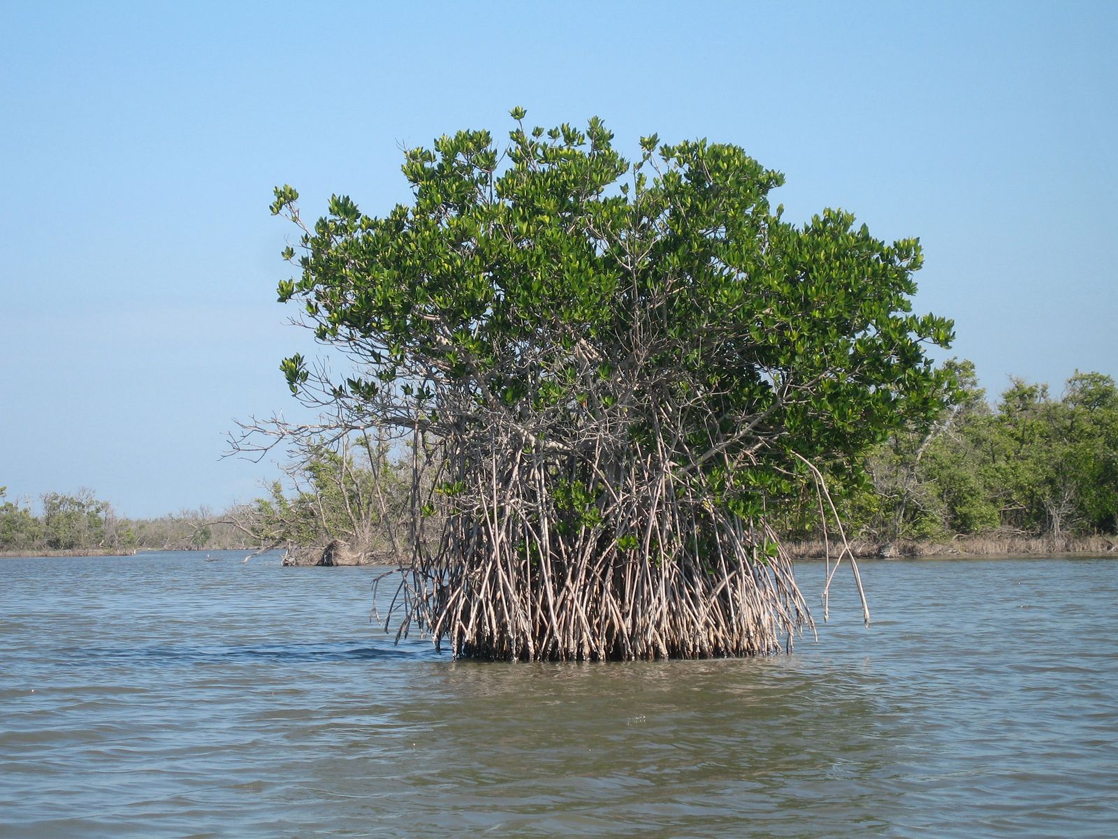
Red mangrove
Rhizophora mangle
Look for arching prop roots at the water’s edge. These supports create a sheltered world beneath the branches. Red mangroves exclude much of the salt at their roots.
 BOOK NOW
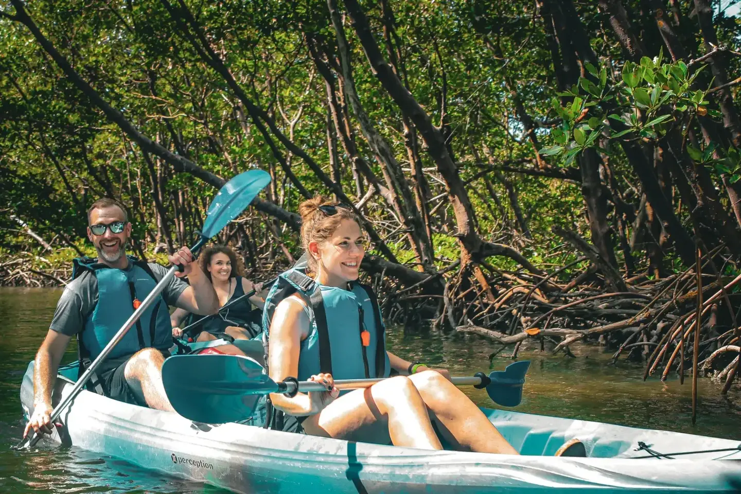
Explore the Ten Thousand Islands and Rookery Bay through their mangroves, wildlife and connected coastal habitats.
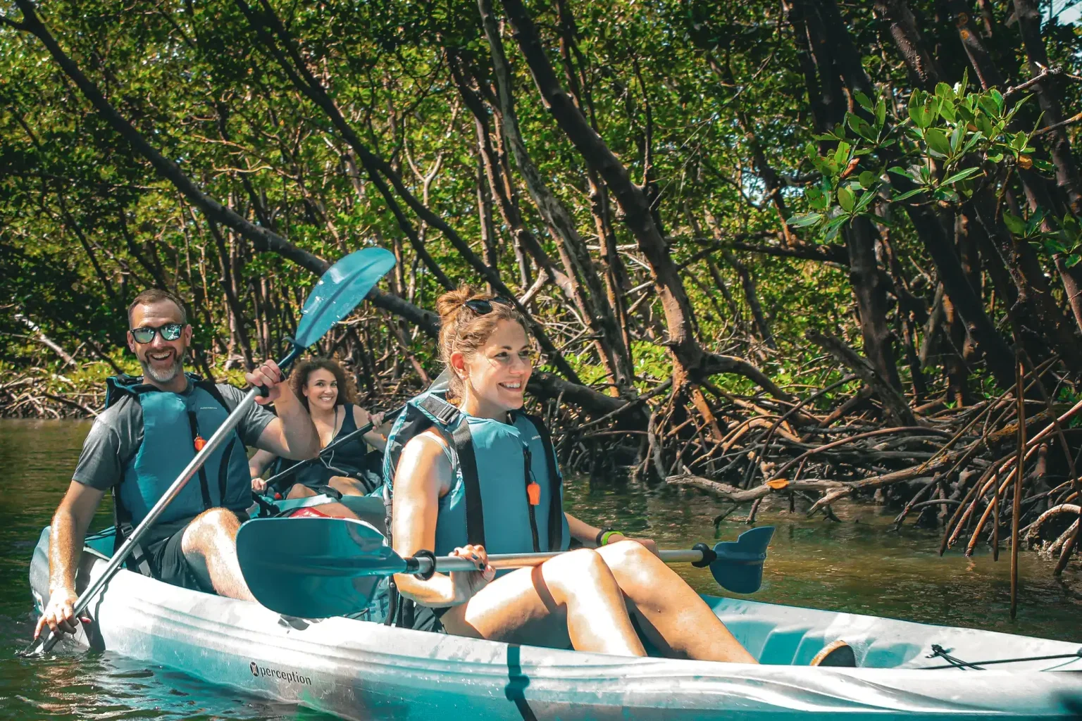
This coastal landscape is a network of mangrove islands, oyster bars, tidal channels and lagoons. Fresh water from the land mixes with salt water from the Gulf to form a productive estuary.
Submerged roots give fish and other small animals protected places to grow. Mangrove leaves become part of the food web as they break down, connecting the forest to the life beneath the surface.
Florida’s red, black and white mangroves live with salt, tides and wet soil. Start with their roots and leaves to tell them apart.
Rhizophora mangle
Look for arching prop roots at the water’s edge. These supports create a sheltered world beneath the branches. Red mangroves exclude much of the salt at their roots.

Avicennia germinans
Look around the trunk for pencil-like breathing roots rising from the mud. Often growing a little higher inland, black mangroves release excess salt through their leaves.

Laguncularia racemosa
Look for rounded leaves and two small glands near the base of the leaf blade. White mangroves often grow farther inland; their roots are less conspicuous.
Species reference photos; locations vary. Learn more with Florida DEP’s mangrove guide ↗.
Rookery Bay National Estuarine Research Reserve encompasses 110,000 acres of coastal lands and waters. Its habitats include mangrove forests, barrier island beaches, freshwater marshes and pine flatwoods.
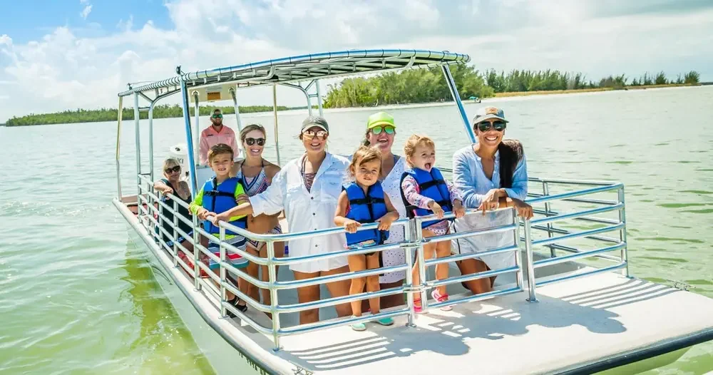
Watch for wading birds, look for small creatures around the roots and listen as your guide explains how tides and habitat shape what you see. Wildlife sightings vary naturally.
Explore Rookery Bay’s official reserve guide ↗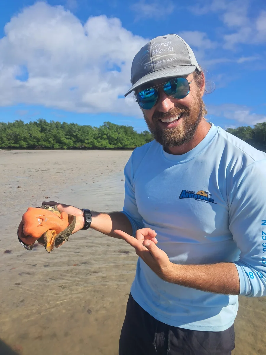
Slow down and the shoreline becomes a world of small discoveries. Roots offer shelter for young fish and attachment surfaces for oysters and other animals. Crabs explore above the waterline, while birds search the shallows nearby.
Fallen leaves break down into material that helps feed the estuary. The forest and the water are connected: what happens among these roots reaches far beyond the trees.
MEET THE COASTAL BIRDS ↗What you see changes with the tide, season and conditions. Observe wildlife without disturbing it.
More of the shoreline’s roots become submerged. Watch the waterline and imagine how small fish move through this tangle of cover.
Exposed mud, oyster bars and root systems reveal details hidden at higher water. Wading birds may gather to feed where prey becomes easier to reach.
Tides, wind and shallow water shape how guides plan a route. A low tide can be fascinating for observing habitat, but it does not make every channel suitable to explore.
Protected roots and shallow water offer habitat for young fish and other marine life.
Mangroves and adjacent estuary habitats support birds, crabs, oysters and many other animals.
Mangrove wetlands help protect inland areas from storm surges and support food webs in nearby waters.
Learn more from the National Park Service’s Ten Thousand Islands ecology guide and tidal wetlands guide.
Ask your guide about roots, tree crabs, periwinkles, oyster reefs and the changing waterline. A closer look makes the scenery a story.
Avoid touching or disturbing animals, keep litter out of the waterways and follow your guide’s directions around roots, shallow water and protected areas.
The reserve protects a mosaic of mangroves, tidal waters and upland habitats. Its Environmental Learning Center offers another way to explore the science behind the scenery. Check its official website for current visiting information.
EXPLORE ROOKERY BAY ↗Ecology references: Florida Department of Environmental Protection · Rookery Bay National Estuarine Research Reserve. Tour routes and wildlife sightings vary.
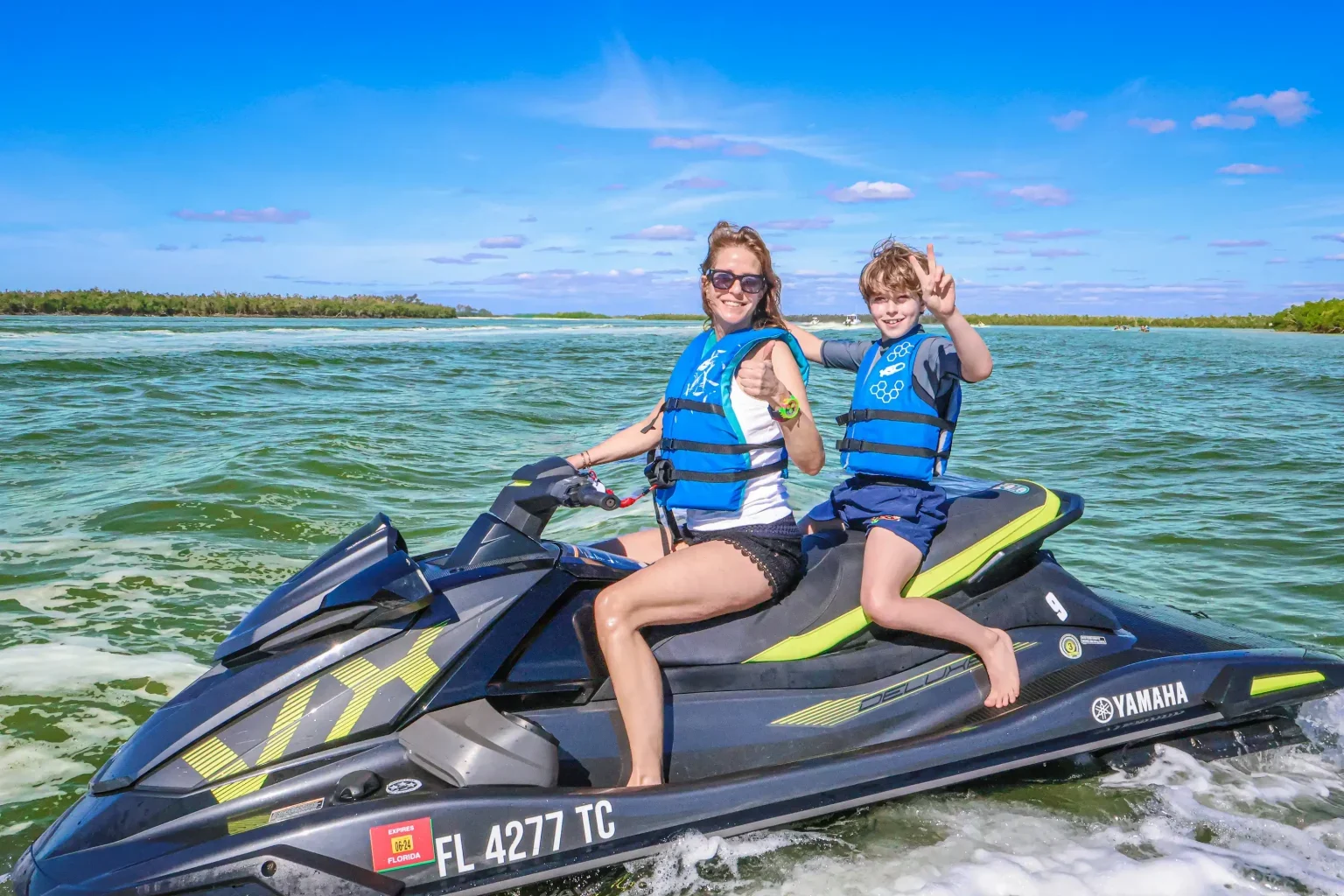
Choose a kayak, boat or jet ski tour and see these waterways from a new perspective.